Historical Savannah city maps available online

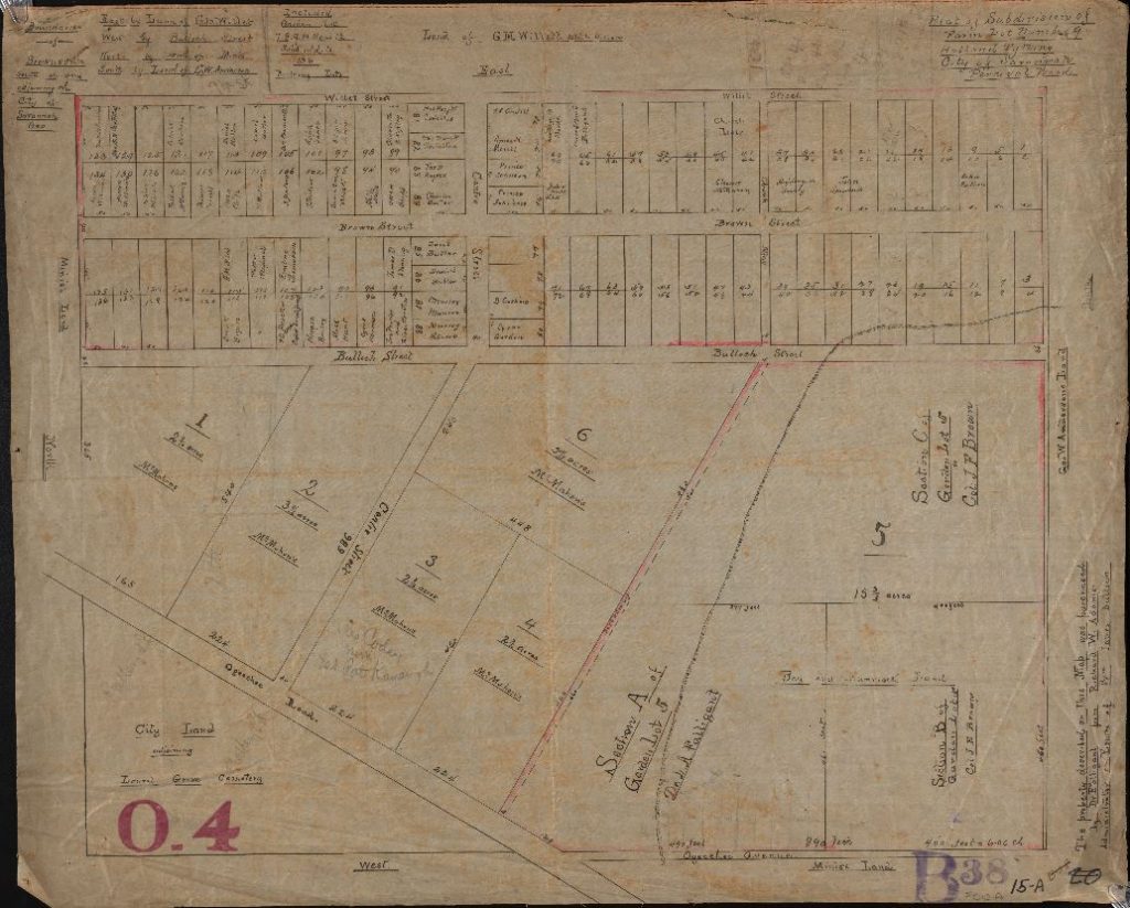
The Digital Library of Georgia is pleased to announce the availability of three new historical map collections from the City of Savannah Municipal Archives:     Record Series 3121-007, Engineering Department – General Maps, 1798-1961, no date, https://dlg.usg.edu/collection/gsg_edgm, which contains maps from 1798 to 1961 that illustrate Savannah property holdings, as well as land subdivision for City […]

Read More…

Share

Georgia State University Announces New Collection: Works Progress Administration Maps of Atlanta

Our friends at Georgia State University have just launched a new resource, Works Progress Administration Maps of Atlanta. The site features over 950 maps including the 1940 Report of the Real Property, Land Use, and Low Income Housing Area Survey of metropolitan Atlanta, a 1936-1938 Atlanta Cadastral Survey, and a partially incomplete series of Fulton […]

Read More…

Share

USDA Soil Surveys of Georgia, 1901-1954

Soil survey maps provide an inventory of the different kinds of soils tested in a single area (such as a county), identify the areas that specific soils occupy, and aid in establishing a location’s suitability for specific residential or commercial use. Soil surveys were first authorized in the United States by the United States Department […]

Read More…

Share